LENGTH: 15 miles (your gps may differ because of tree cover and winding trails)
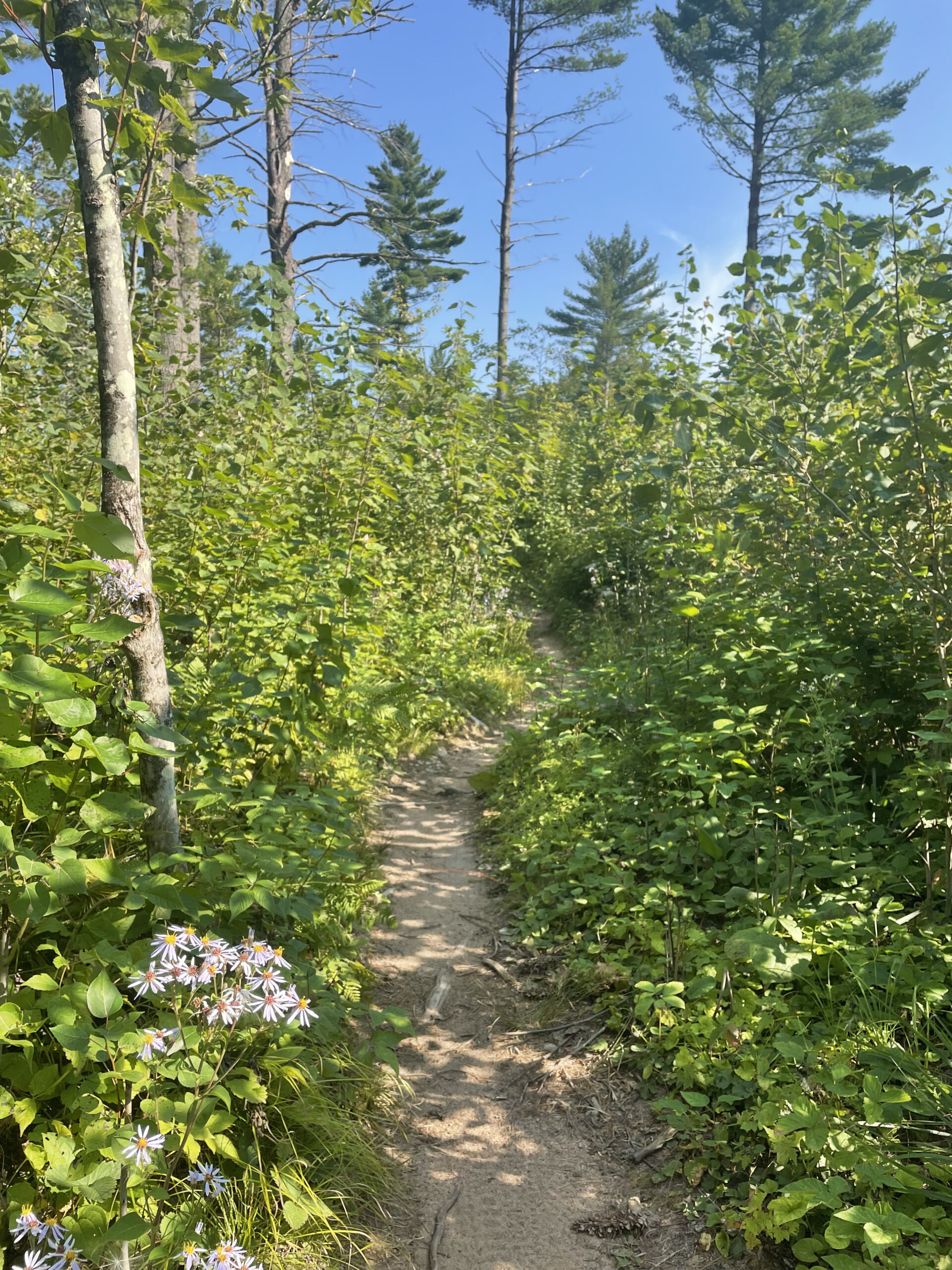
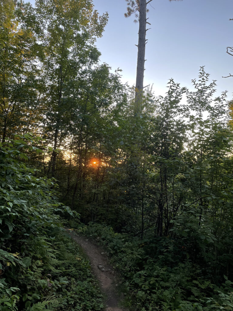
DESCRIPTION: A good option if you’re looking for singletrack through the woods. Most of this route follows the CAMBA (Chequamegon Area Mountain Bike Association) mountain bike trails. While they are mountain bike trails, most of the time, it’s not busy so you don’t need to be too concerned that it’s like a Metro trail on a Saturday morning. The first and final sections (about a mile worth) are on newer, more flowy (for bikes) singletrack. The rest is on older, rockier trail. There are a lot of twists and turns in the trail. It’s very heavily wooded, so you expect to be in a lot of shade (BUT, it’s usually hot and humid in those woods). You also run through some new logging and recent logging areas. From about mile 8 to 10/11, the route takes you on the Birkie Trail to mix things up and avoid a boring out and back on the Makwa Trail singletrack.
NAVIGATION LEVEL (1 easy, 10 hard): 2. I rate this a 2 because you follow the mountain bike singletrack most of the way. There are some ski trail crossings and some turns, but there are signs, maps, and you’re following a clear dirt trail. For this route, at about Mile 8, you’ll come to an intersection with the Birkie Trail. This route goes left, follows the Birkie Trail back to Mosquito Brook Road, where you’ll pick up the singletrack again.
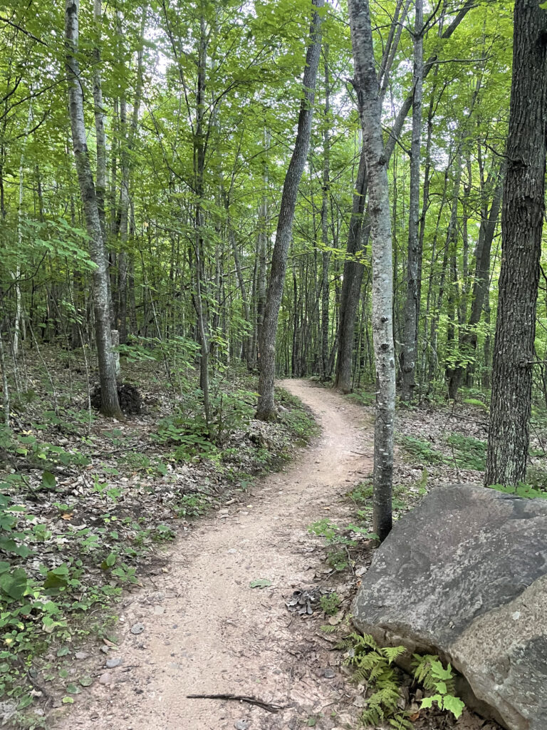
PHYSICAL/TECHNICAL LEVEL (1 beginner, 10 expert): 5-7. Some of the singletrack was updated in 2020 and is wider and smoother. There are a lot of small ups and downs, turns, and a good amount of rocks. The older, narrower sections of trail are full of rocks and require your attention to avoid missteps. There are no large climbs or descents, just a lot of small ups and downs.
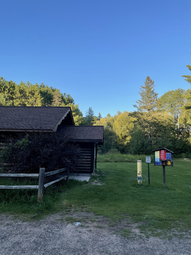
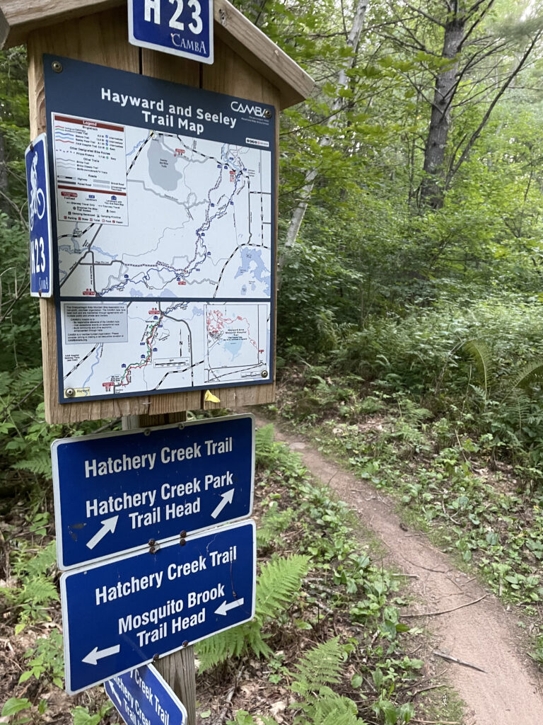
LOCATION: The Hatchery Creek Trailhead is located 3 miles east of Hayward on Hwy 77. Turn left at the Hatchery Creek County Park sign and take Hatchery Road to the end at the Pavilion. The singletrack trail starts near the parking lot entrance with an arch over it.
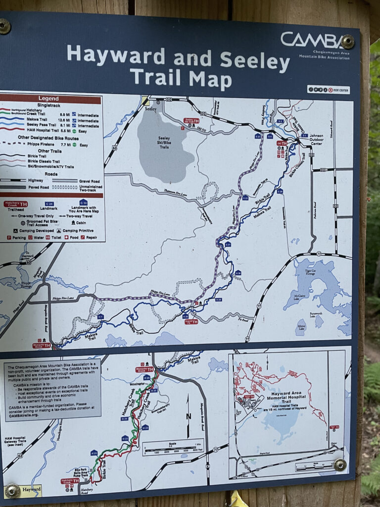
DOWNLOAD THE TCX FILE: https://drive.google.com/file/d/1AQ_JF7TzUS_pNbDyHO3j3YBPt4VXQNv4/view?usp=sharing
RIDEWITHGPS FULL DETAILS: https://ridewithgps.com/trips/73777285
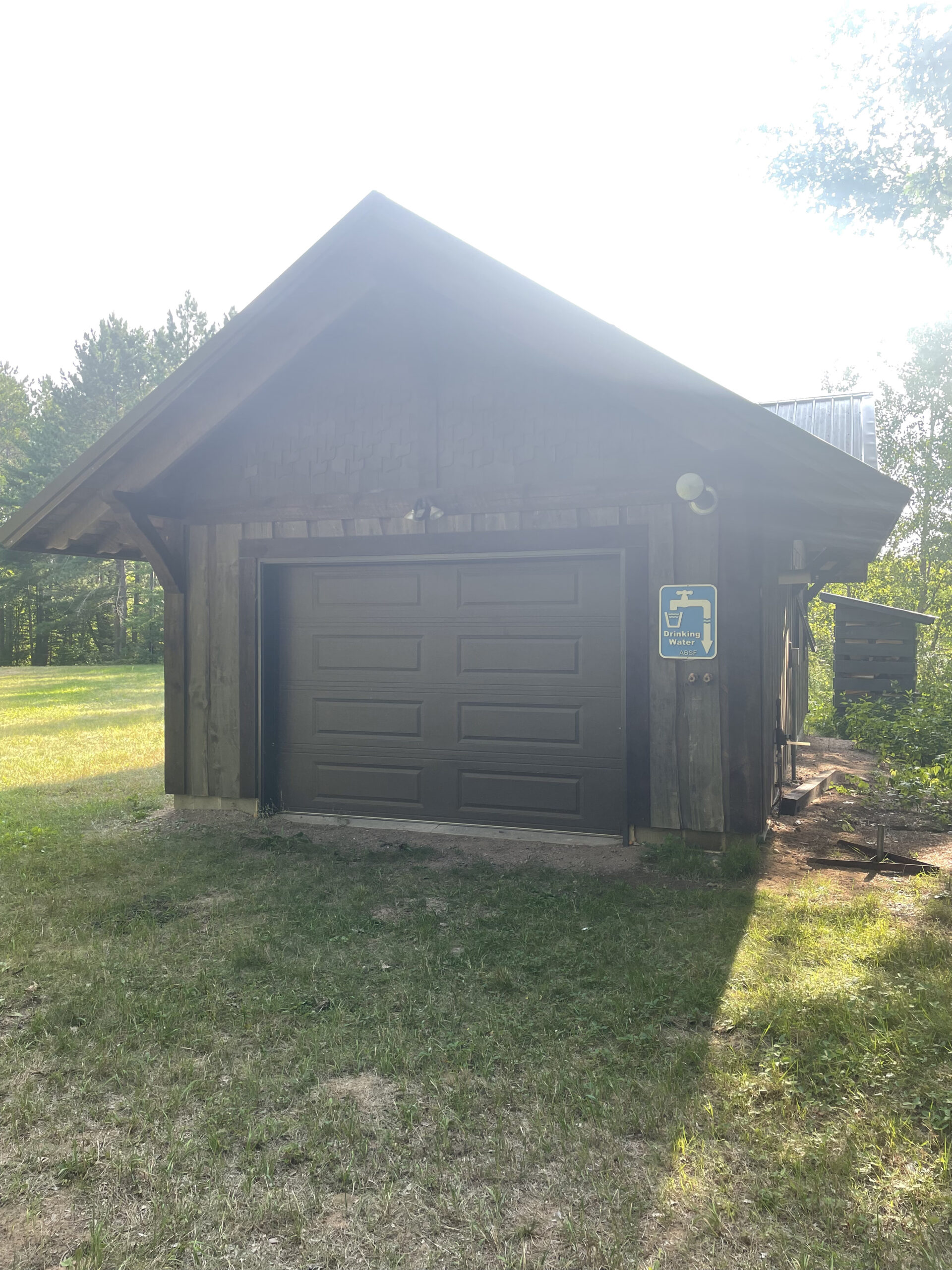
NOTES: There is water available at Hatchery Creek Park – there are two spigots on the outside. Good to drink. The other, and probably more useful, is the water available at the Birkie warming cabin at Mosquito Brook Road. You will find the building just to the west of the parking lot. You can see it. The faucets are on and it’s good to drink.
The trail winds through thousands of acres of Sawyer County public land, so you can use the trail and area to run, hike, bird watch, gather mushrooms, hunt, just enjoy the woods, etc. The Birkie Ski Trails follows along much of the singletrack and is open to all summer silent sports as well. If you’re mid-run on this route and wanting to go longer or shorter, you can jump off the singletrack on make your way on the Birkie Trail. Note for the winter: the CAMBA singletrack is groomed for fatbiking, so you need to stay off with shoes. You can access it with snowshoes. The Birkie Trail is 100% skiing only during the winter. Best time of the year to enjoy these trails is early September through mid October.
PHOTOS:
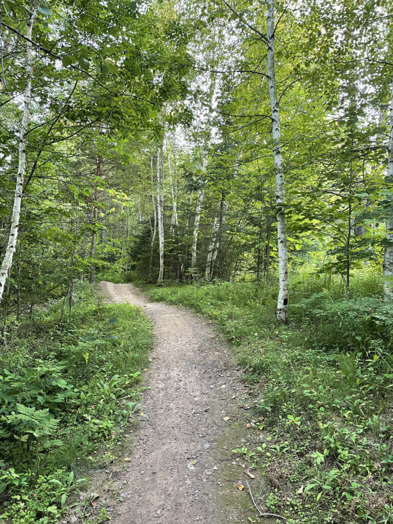
The first section is newer, wider trail. Unfortunately not built with hiking and running in mind, but still worth the time. 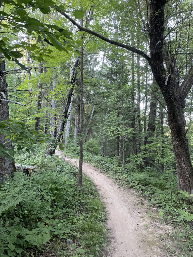
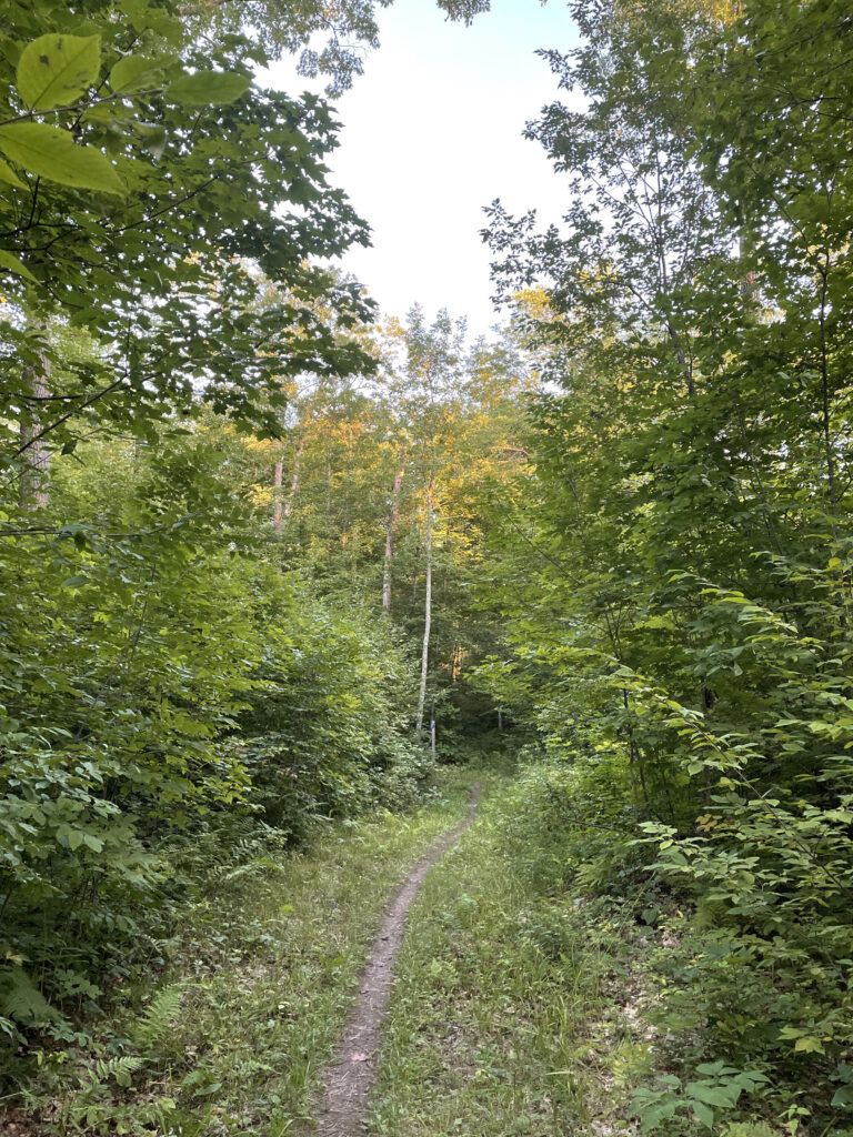


Last year’s clear cut is this year’s new life 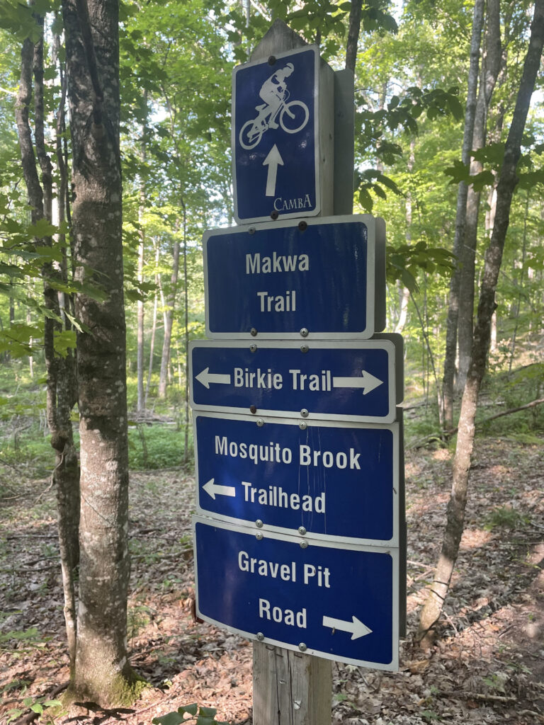
Intersection at Mile 8. You have several options. This route takes you left at this point and on the birkie trail. 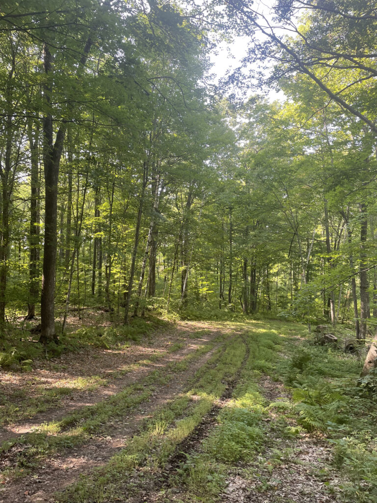
Birkie Trail section 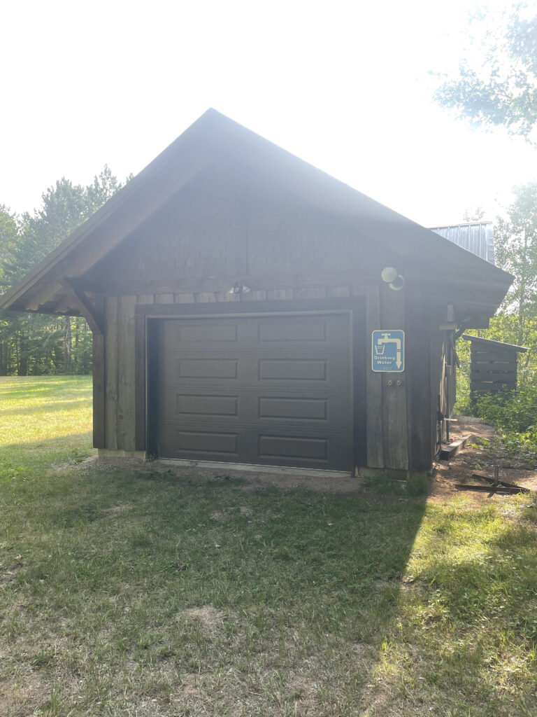
Potable water is available at the Birkie warming hut just off the Mosquito Brook parking lot. It’s a great refuel spot because you pass it twice – once at about 5 miles and next at about 11 miles.